Our services
Precision Construction Services to Keep Your Project on Track
At Wilson & Associates, PC, surveying isn’t just about lines on a map, it’s about laying the groundwork for progress. We’re here to make sure every project starts on solid ground. Whether it’s land development, construction, or infrastructure, our goal is to provide precise, dependable data so you can plan, design, and build with confidence. With a full suite of advanced tools, a highly skilled team, and a commitment to quality, we serve private developers, engineers, architects, municipalities, and contractors across the region.
Simply put: we measure success by helping you build it.
CSS
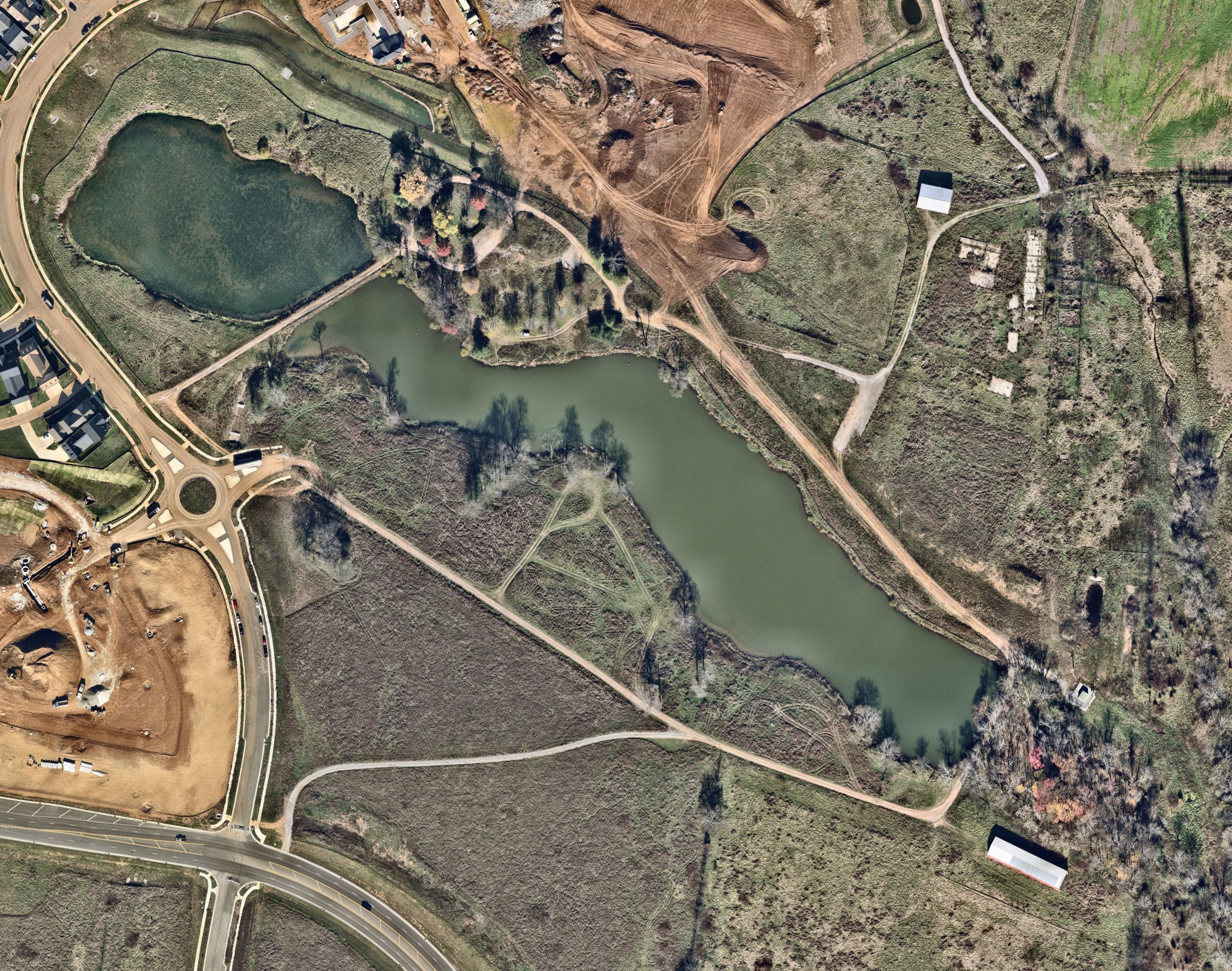
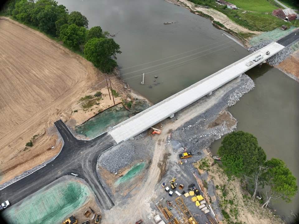
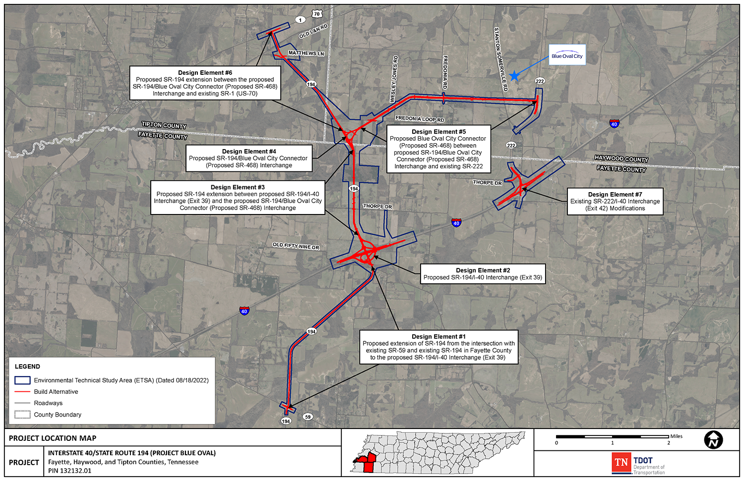
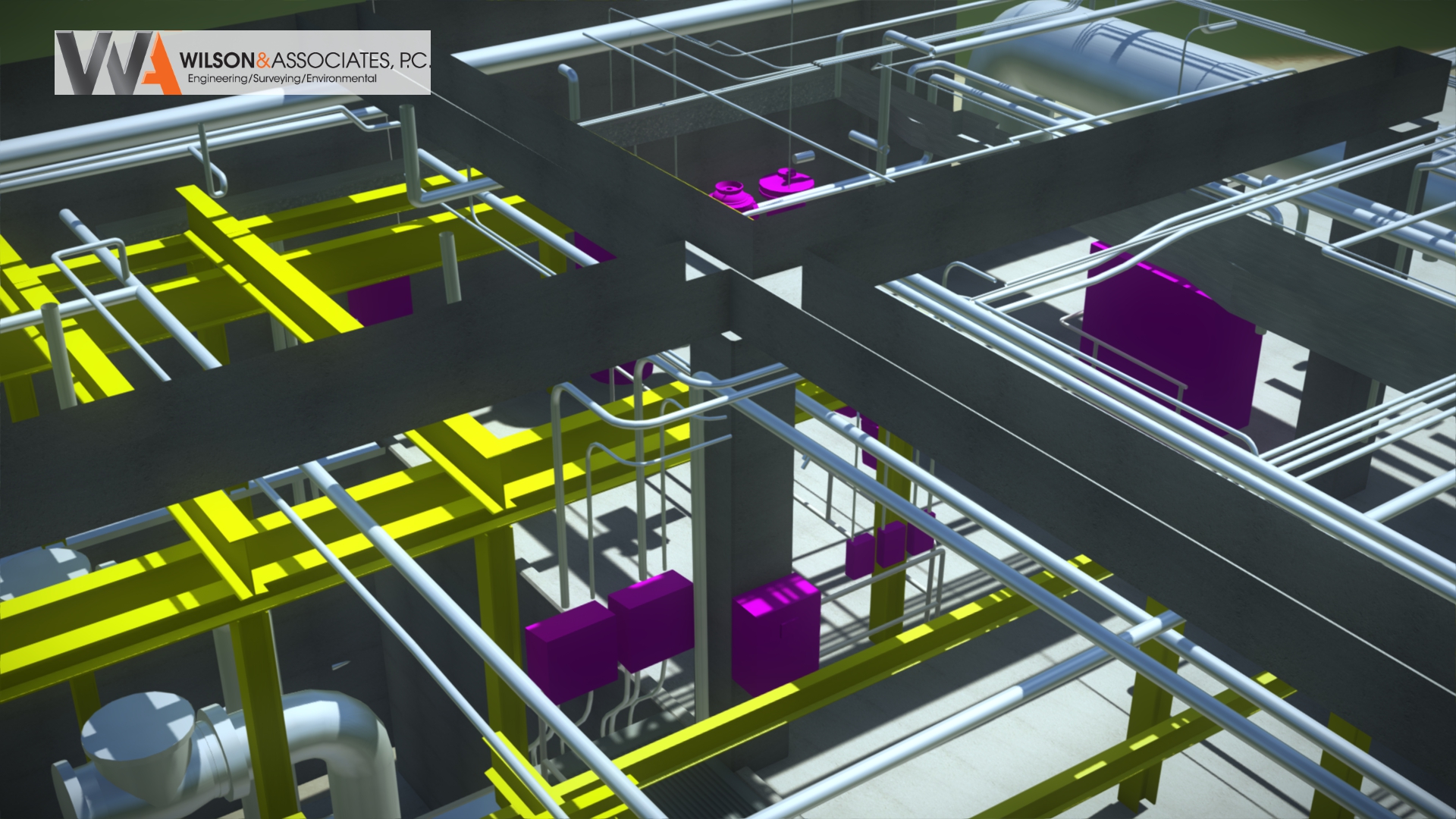
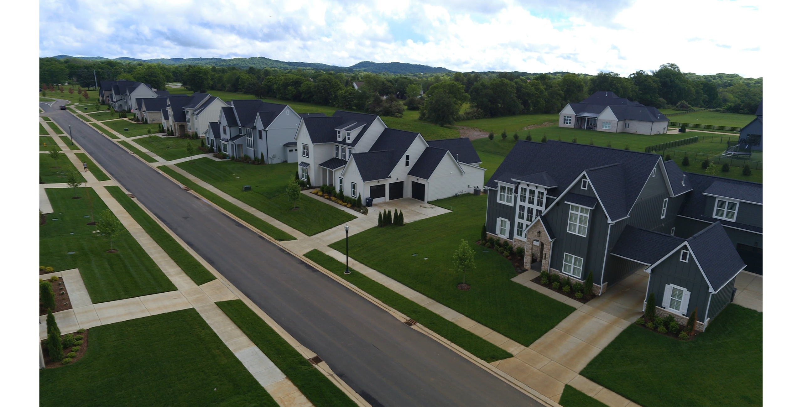
Construction Surveying Services
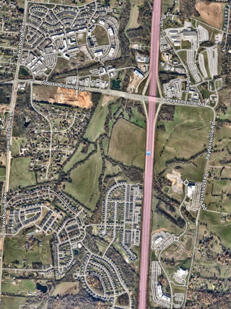
Wilson & Associates’ Construction Surveying Services (CSS) supports projects across the Southeast with a team of over 30 professionals dedicated to construction-focused surveying. From site layout and utility corridors to foundation staking and roadway alignments, we help translate design into precise, buildable reality.
Our team combines traditional surveying with advanced tools like 3D machine control, VDC modeling, and LiDAR scanning through terrestrial, aerial, and mobile methods to deliver detailed models and as-builts that reduce rework and boost efficiency. We also offer bathymetric surveys for marine and civil projects using sonar technology to map below the surface. At WA, we don’t just set points—we set projects up for success.

SDS
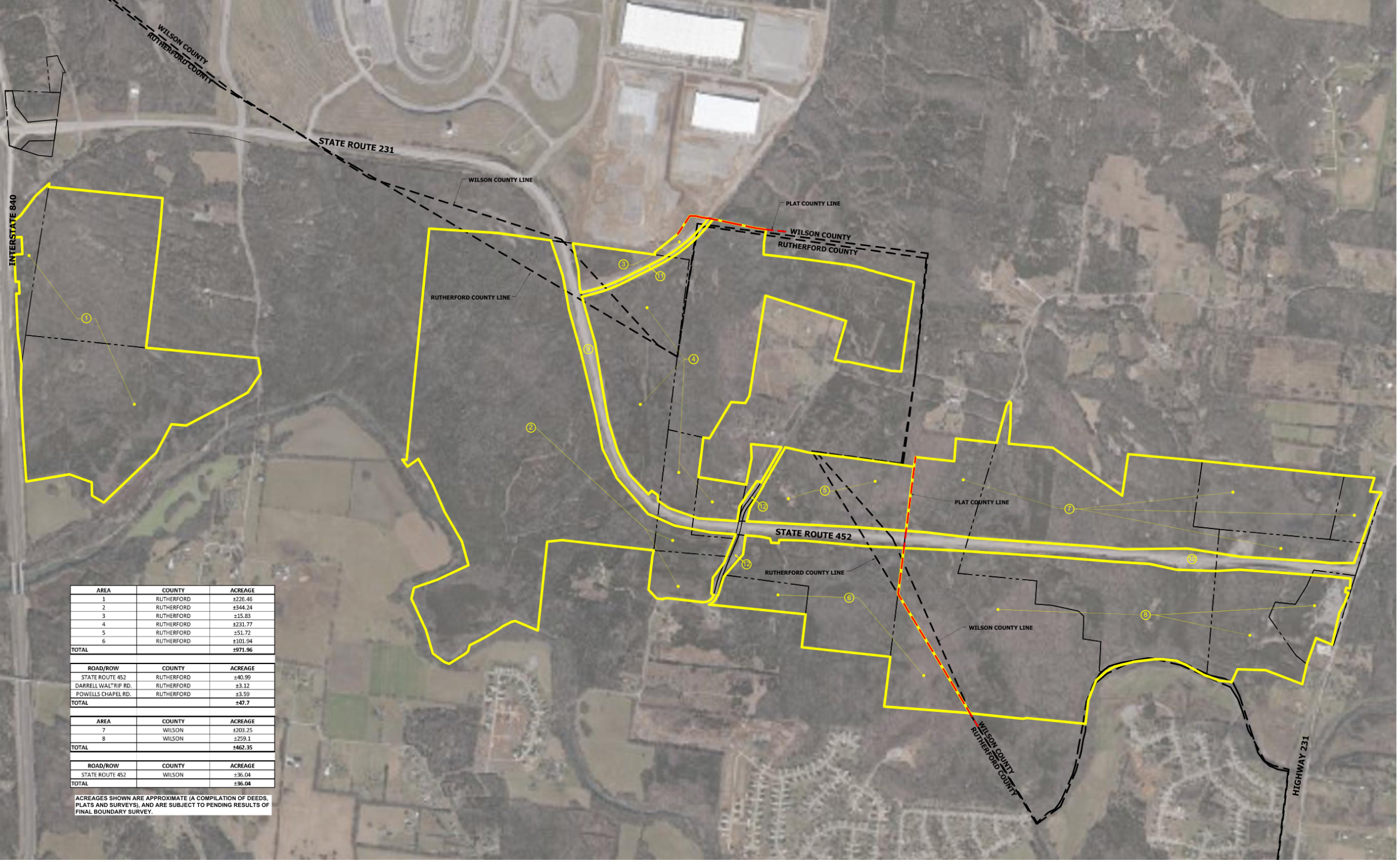
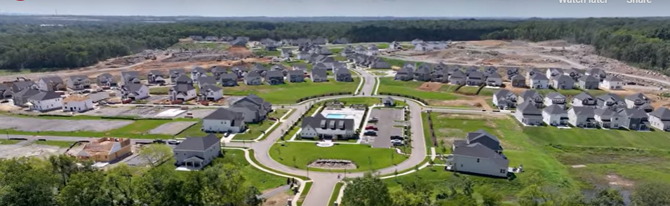
Survey Design Services
Wilson & Associates’ Survey Design Services (SDS) supports residential builders and developers across Middle Tennessee with expert geomatic and engineering solutions. From plot plans and house layout staking to construction staking and critical lot design, SDS helps bring projects from concept to completion with precision and efficiency.
Using terrestrial, aerial, and mobile LiDAR scanning, our team captures detailed site data for accurate terrain modeling and analysis. This high-resolution information improves planning, enhances buildability, and reduces costly delays. Working closely with our Professional Surveying Services (PSS) team, we provide seamless project control—from land acquisition and boundary surveys to final platting and construction verification. At WA, we believe that early accuracy leads to long-term success, and SDS is built to deliver it.
PSS
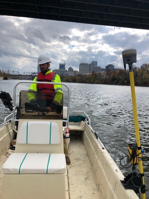
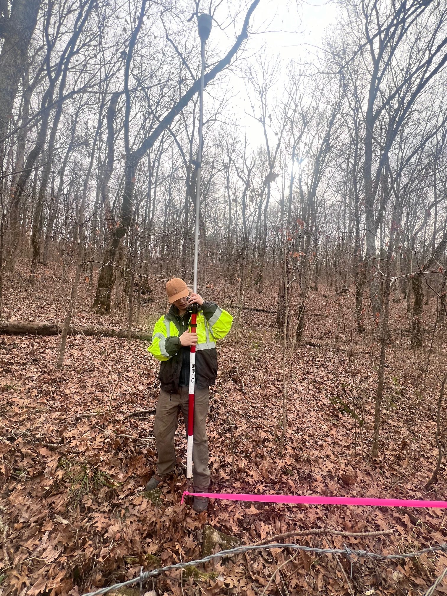
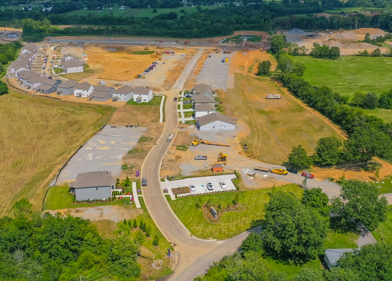
Professional Surveying Services
Wilson & Associates’ Professional Surveying Services (PSS) team supports residential and commercial projects across Middle Tennessee with precise, high-quality geomatic solutions. From boundary, ALTA, and topographic surveys to detailed site analysis, we deliver the accuracy and reliability developers, builders, and engineers depend on.
Using advanced GPS technology along with terrestrial, aerial, and mobile LiDAR scanning, we capture robust data that improves quality and reduces costly rework. In close coordination with our Survey Design Services (SDS) team, we offer full project continuity—from land acquisition and platting to final construction verification. At WA, we believe better data leads to better outcomes—and PSS is where it begins.